
Airport Board Email: kasnboard@gmail.com
Phone: 256-761-4815
Airport Board Office: 108 East St North/P O Box 695, Talladega, AL 35161
Airport Location: 566 Airport Drive, Lincoln, AL 35096.
Talladega Municipal Airport is located in unincorporated Talladega County approximately nine miles north of the City of Talladega, 528’ above sea level. Talladega County is located in Northeast Alabama, sixty-one miles east of Birmingham and ninety-four miles north of Montgomery.
The Talladega Municipal Airport is located on an 863-acre tract of land adjacent to the Talladega Superspeedway and is open 24 hours a day, 7 days a week.
Special Event Fees: Call for updated parking and special event fees.
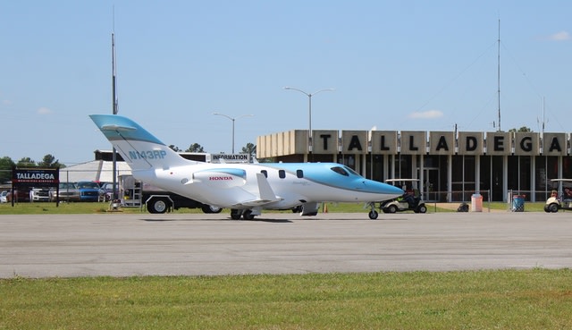
Ground Access
Talladega Municipal Airport is convenient to users from the Birmingham and Anniston areas. The airport is assessable by way of Speedway Boulevard (Alabama 114/County Road 399), a four-lane roadway constructed primarily to serve the racetrack facilities. This multi-lane corridor connects to State Highway 77 on the west and I-20 on the eastern end of its six mile route.
State Highway 77 and County Road 326 lead to the Talladega Central Business District (CBD). Both highways offer access to the airport from the more isolated areas of Talladega County. The Talladega CBD is served by two major railway systems - Norfolk Southern and CSX.
The means of ground access to and from the airport is by automobile. Local taxi services are available to the airport. With advance notice, rental car service can be arranged by airport management.

Airport Board
EQUITY • EFFICIENCY • OPPURTUNITY
Board Members
Clarence Haynes - Vice Chair
Vann Caldwell
Wayne Kearley
Suzane Cooper
J.C. Hutchinson
Joe Power - Treasurer
Jeff Roberts - Chair
Jay Cooper
Ricky Simpson
Board Secretary
Jane Goodson
Airport FAA Information
Location
Lat/Long:
33-34-10.2150N / 086-03 04.3250W
33-34.170250N / 086-03.072083W
33.5695042 / -86.0512014
(estimated)
FAA Identifier:
ASN
Elevation:
528.8 ft. / 161.2 m (surveyed)
Variation:
03W (2010)
From City:
8 miles NE of TALLADEGA, AL
Time zone:
UTC -5 (UTC -6 during Standard Time)
Zip code:
35096
Airport Communications
CTAF At ASN:
122.8
WX AWOS-3:
118.425 (256-362-5847)
BIRMINGHAM
APPROACH:
132.15
BIRMINGHAM
DEPARTURE:
132.15
WX ASOS At ANB
(10 Nm E):
119.675 (256-835-3931)
WX AWOS-3:
119.625 ((205) 884-4359)
Nearby radio navigation aids
VOR Radial/Distance:
TDG at field
GADr174/24.5
WX AWOS-3:
TALLADEGA VOR/DME
GADSDEN VOR/DME
Freq:
108.80
112.30
Var:
02E
02E
NDB Name:
SYLACAUGA
Hdg/Dist:
032/27.2
Freq:
284
Var:
03W
ID:
SCD
RUNWAY INFO
EQUITY • EFFICIENCY • OPPURTUNITY
RUNWAY 4/22
Dimensions: 6032 x 100 ft. / 1839 x 30 m
Surface: asphalt/grooved, in good condition
Weight bearing capacity:
Single wheel: 30.0
Double wheel: 65.0
Double tandem: 95.0
Runway edge lights: high intensity

RUNWAY 4
Markings: precision, in good condition
Visual slope indicator: 4-light PAPI on left (3.00 degrees glide path)
Runway end identifier lights: yes
Touchdown point: yes, no lights
Instrument approach: ILS/DME
Obstructions: 56 ft. trees, 1000 ft. from runway, 289 ft. left of centerline, 14:1 slope to clear
Latitude: 33-33.764875N
Longitude: 086-03.416015W
Elevation: 509.2 ft.
Gradient: 0.3%
Traffic pattern: right
Runway heading: 33-33.764875N
RUNWAY 22
Markings: precision, in good condition
Visual slope indicator: 4-light PAPI on left (3.00 degrees glide path)
Runway end identifier lights: no
Touchdown point: yes, no lights
Instrument approach:
Obstructions: 59 ft. trees, 1966 ft. from runway, 147 ft. left of centerline, 29:1 slope to clear
Latitude: 33-34.575667N
Longitude: 086-02.728167W
Elevation: 528.2 ft.
Gradient: 0.3%
Traffic pattern: left
Runway heading: 218 magnetic, 215 true
Facilities & Services
Airport Services
Fuel available: 100LL JET-A
Parking: hangars and tiedowns
Airframe service: NONE
Powerplant service: NONE
Bottled oxygen: NONE
Bulk oxygen: NONE
Airport Operations
Airport use: Open to the public 24 hours - 7 days
Activation date: 10/1943
Sectional chart: ATLANTA
Control tower: no
ARTCC: ATLANTA CENTER
Attendance: FBO attended weekdays 0800-1600
Closed Saturday and Sundays except during race events.
Wind indicator: lighted
Segmented circle: Yes
Lights: ACTVT HIRL RY 04/22, REIL RY 04 AND TWY LGTS
- CTAF. PAPI RYS 04 & 22 OPER CONTINUOUSLY.
Beacon: white-green (lighted land airport) Operates sunset to sunrise.
Airline operations: CLSD TO ACR OPNS WITH MORE THAN 30
PSGR SEATS EXCP PPR CALL AMGR (256) 761-4815.
Ownership and Management
Airport Ownership And Management From Official FAA Records
Owner:

CITY OF TALLADEGA, CITY HALL
TALLADEGA, AL 35160
Manager:
JIM BROCK
566 Airport Drive Lincoln, AL 35096
Ownership:
Publicly Owned
Airport Operational Statistics
Aircraft based on the field: 50
Single engine airplanes: 41
Multi engine airplanes: 5
Jet airplanes: 4
Helicopters: 6
Ultralights: 3
89% transient general aviation
7% military
3% local general aviation
2% air taxi
Completed Airport Projects
EQUITY • EFFICIENCY • OPPURTUNITY